Ed Hitchins, Local Journalism Initiative Reporter
A First Nation near Fort St. John, B.C. says it intends to conserve and restore nearly 100,000 hectares of territorial lands.
Doig River First Nation (DRFN) hosted a World Cafe event in Fort St. John on January 30th and 31st, giving residents an inside look at its plans for K’ih tsaa? Dze Tribal Park and its land use plan for development.
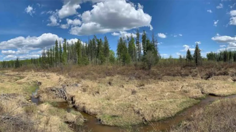
The open house also showcased conservation and restoration efforts for the land located near Goodlow.
K’ih tsaa? Dze (pronounced kih tsad zey) is a word in the Dane-zaa language meaning “ancient spruce.”
The public who dropped into the free two-day event at the Ramada Northern Grand Hotel learned the history of the lands and DRFN’s historical and cultural connection with the area.
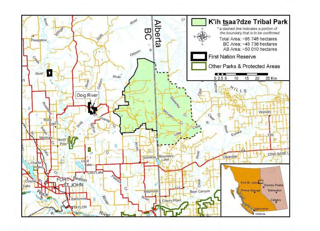
The approximately 6,000-acre park is approximately 40 kilometres northeast of Fort St. John, straddling the B.C.-Alberta border.
It is part of the DRFN’s Treaty Land Entitlement Settlements, which the First Nation signed with the provincial and federal governments.
The park was first established by DRFN in 2011.
Chief Trevor Makadahay says the next steps are to gather information and consult throughout the year, with final recommendations and implementation scheduled for 2026.
He says plans for the area have been in progress since around 2005, with the First Nation hoping to secure the conservation of approximately 97,115 hectares of total land.
“Our connection to the land there has been for generations. It’s a place where we believe that the Thunderbirds [mythological birds] land. It’s a spiritual place that we want to share for generations to come.”
Chief Trevor Makadahay, chief of Doig River First Nation
“We want to see some feedback, ” said Makadahay. “Instead of rolling out an idea with no space for your input where someone could get upset.”
“Our connection to the land there has been for generations. It’s a place where we believe that the Thunderbirds [mythological birds] land. It’s a spiritual place that we want to share for generations to come.”
Some of the area’s history was on display, including potential restoration of the land from oil and gas activity and wildfires.
DRFN estimates 5,026 unused wells are on the land, and seismic line restoration is projected to boost the local economy by $37 million.
Ecocultural restoration, including removing dormant and orphan wells, could bring over $1 billion in total to the region.
Each station around the banquet room included informative brochures about seismic lines and restoration, an overall history and DRFN’s planning and vision for the area’s future.
A 3D map of part of the restoration area was displayed courtesy of third-party consultants Blackbird Environmental.
The company has been working with DRFN to remove seismic lines in the area, including biologist Erin Maxfield of Blackbird.
“Older seismic lines are six to eight metres wide. That caused some problems clearing around trees.”
Erin Maxfield, biologist of Blackbird
Maxfield says some of the lines can cause problems due to age.
“Older seismic lines are six to eight metres wide. That caused some problems clearing around trees,” explained Maxfield. “Newer ones were about the width of two people, so they could be easily removed.
“[Newer] ones are much harder to find now because so much [vegetation] has regrown.”
The event, which concluded on Friday afternoon, was completed by a presentation about DRFN’s outlook on the past 50 years of industrial activity in the area.
It was presented by Allisun Rana, legal counsel for DRFN, who led onlookers through the history. She was joined by Elders Gerry Attachie and Sam Acko.
Attachie was chief in the 1970s. He told the crowd about his travelling to Ottawa for the National Energy Board hearings in 1978, where the Union of BC Indian Chiefs (UBCIC) went to the House of Commons to dispute the Alaska Highway pipeline.
“When we joined UBCIC, it was like night and day. We came together, seven chiefs strong [with the UBCIC] and started to get things going.”
Elder Gerry Attachie
The pipeline was scheduled to pass through DRFN land.
“We were strong when we were together,” said Attachie. “When we joined UBCIC, it was like night and day. We came together, seven chiefs strong [with the UBCIC] and started to get things going.
“Chiefs from Nova Scotia to Yukon were there [at the hearing]. The main topic was the impact of the wildlife in the water. We spoke about the impacts of the [W.A.C. Bennett] Dam, too.”
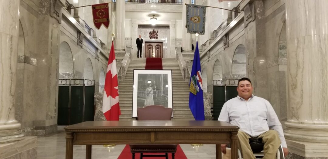
Provincial Energy and Climate Minister Adrian Dix also attended the event.
Those who weren’t able to attend can have their say by scanning a QR code, which will be shared on DRFN’s LinkedIn page, or emailing [email protected].